Select date

Low-Cost Micro Satellites are Spawning a Global Surveillance Arms Race


The emergence of low-cost micro satellites is starting to spawn a global surveillance arms race: the familiar problem-reaction-solution paradigm upon what all other arms races are built. “Our competitors will learn to use this exploding geo-enabled capability to learn a lot of things. If we don’t use this as well as them and use our exquisite assets to be a differentiator and stay ahead, we’re going to get behind.” – Major Mike Little, U.S. Southern Command
Google has received vast criticism for its Google Earth, Google Maps and Google Streetview systems that have essentially removed the inherent right to privacy and transferred it to the whim of corporate terms and conditions. However, this pales in comparison to what has been launched by the world’s largest defense contractors as well as newer providers of commercial space imagery.
Next-generation global imaging satellites such as Lockheed Martin’s WorldView-4 was spawned from a partnership with commercial space imagery vendor, DigitalGlobe. The largest customer of DigitalGlobe is the U.S. National Geospatial-Intelligence Agency, also known as GEOINT.
The incredible scope and applications of GEOINT is laid out on the .mil website’s About page but their image collection from DigitalGlobe can best be described as … penetrating:
The 31-centimeter resolution images allow viewers to discern, for example, the windshield of a car and the direction the car is facing.
….offers short-wave infrared resolution that sees through dust, smog and smoke as well as things on Earth invisible to the naked eye.
DigitalGlobe executives told The Denver Post last month that its new sensors allow them to see minerals, identify tree and plant species and gather soil composition. When analyzed, this information can decipher what’s beneath the surface — insight that can then be sold to industries including mining or oil and gas exploration.
(Source)
The Denver Post also revealed that it was DigitalGlobe who successfully petitioned the U.S. government in 2014 to remove previous restrictions on the sale of higher-resolution images to non-government buyers thus opening up the aforementioned domestic and international commercial applications. While these applications that cross over between the private and government sectors could be labeled fascism, it is the specific military and surveillance capabilities that could have the widest impact.
Naturally, the military’s mission is always to move forward with more development of increasing invasiveness and control regardless of redundancy. The ability to see a stick of butter from space, after all, won’t guarantee global security – being able to track the unplanned movements of foreign militaries supposedly will.
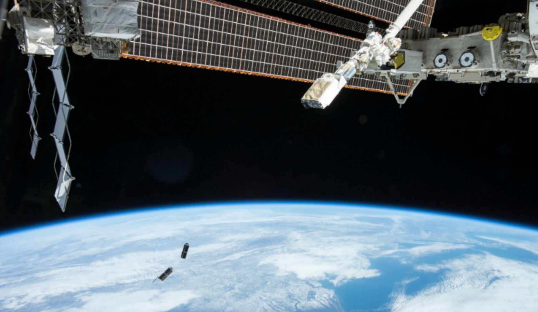
However, if something is undisclosed, how would one know where to launch specific surveillance? Well, of course the solution is to have pervasive surveillance that blankets the planet and stores all of the images for later retrieval. The U.S. military believes that a key component of achieving this is to have micro satellites, some only “the mass of a pair toasters,” that can collect imagery and automate searches as needed. A small company appropriately called Planet Labs has become a player, according to an article by Defense One:
With a constellation of 149 microsatellites, Planet can cover a lot more territory than any single high-end satellite, so almost anywhere in the world you look, Planet can find a recent picture of it. With new imagery coming in every day, you can automate a search for changes at various locations. That means you can detect when a military begins to operate in a given area, and perhaps even deduce what kind of equipment they’re using — all at exponentially less cost than it would take to have run the same operation a decade ago.
In the era of Big Data, algorithms are assigned detection and retrieval tasks to facilitate decision making about how serious a threat may be. That analysis is done by a specialist firm called 3GIMBALS that processes the images. Venezuela apparently came under scrutiny in early 2016, providing an example of what total military surveillance looks like:


